


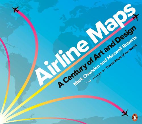

A celebratory look back at one hundred years of passenger flight,featuring full-colour reproductions of route maps and posters from the world's most iconic airlinesFrom the first faltering flights over plains,water,and mountains tothe vast networks of today,air travel has transformed the world and howpeople see it. Maps played their part in showing what was possible andwho was offering new opportunities. As tiny operations with barelyserviceable airplanes pushed out farther and farther,growing andmerging to form massive global empires,so the scope of their mapsbecame bigger and bolder,until the entire world was shrunk down to asingle sheet of paper. Designs featured sumptuous Art Deco style,intricate artistry,bold modernism,60s psychedelia,clever photography,and even underground map-style diagrams.For the first time,Mark Ovenden and Maxwell Roberts chart the development of the airlinemap,and in doing so tell the story of a century of cartography,civilaviation,graphic design and marketing. Airline Maps is a visual feast that reminds the reader that mapping the journey is an essential part of arriving at the destination.
Publisher: Penguin Books LtdISBN: 9780241434123Number of pages: 144Weight: 778 gDimensions: 276 x 242 x 12 mm
MEDIA REVIEWS
The book doesn't just expose some striking pieces of creativity,it also reflects on changing attitudes towards air travel - and how design shaped that - as well as the ways developments in technology moved things forward...Airline Maps also works simply as a visual record,with enough design nostalgia to earn it a place on the coffee table or in the studio bookshelf.This lovely book is an opportunity to explore the history and artwork of air travel,as well as to consider what makes this particular kind of cartography unique...This lovely book is an opportunity to explore the history and artwork of air travel,as well as to consider what makes this particular kind of cartography unique.
Kommentar