


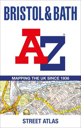

Navigate your way around Bristol and Bath with this detailed and easy-to-use A-Z Street Atlas.
Printed in full-colour,paperback format,this atlas contains 104 pages of continuous street mapping. More than 12,800 streets indexed. Large scale 6.25 inches to 1 mile map.
Areas covered include: Avonmouth,Bradley Stoke,Filton,Keynsham,Kingswood,Mangotsfield,Portishead,Yate,Frampton Cotterell,Chipping Sodbury,Oldland,Swainswick,Batheaston,University of Bath,Combe Down,Bath Spa University,Saltford,Whitchurch,Bedminster,Long Ashton,Easton-in-Gordano,Cribbs Causeway.
Also included are large scale city centre maps of both Bristol and Bath and a postcode map of the atlas area.Postcode districts,one-way streets and safety camera locations with their maximum speed are featured on the street mapping.
A comprehensive index lists streets,selected flats,walkways and places of interest,place,area and station names. Additional healthcare (hospitals,walk-in centres and hospices) and transport connections are indexed as well.
Publisher: HarperCollins PublishersISBN: 9780008560447Number of pages: 168Weight: 470 gDimensions: 297 x 189 x 8 mm
Kommentar