


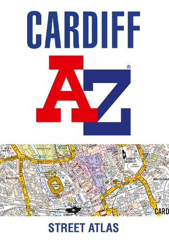

Navigate your way around Cardiff with this detailed and easy-to-use A-Z Street Atlas.
Printed in full-colour,paperback format,this atlas contains 107 pages of continuous street mapping.
The main mapping covers Cardiff and Newport at a scale of 4 inches to 1 mile,featuring postcode districts,one-way streets,park and ride sites,and safety camera locations. Areas covered include: Pontypridd Caerphilly Cwmbran Pontypool Caerleon Penarth Barry Rhoose Llantwit Major
Separate coverage of Chepstow,Caldicot,Magor and Cowbridge is provided.
The large-scale street map of Cardiff city centre - at a scale of 8 inches to 1 mile - includes: Postcode map of the Cardiff area Road map of the Cardiff area Waterbus stops
A comprehensive index lists streets,selected flats,walkways and places of interest,place,area and station names. Additional healthcare (hospitals,walk-in centres and hospices) are indexed as well.
Publisher: HarperCollins PublishersISBN: 9780008445195Number of pages: 192Weight: 290 gDimensions: 215 x 149 x 8 mmEdition: 7th Revised edition
Kommentar