


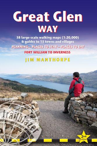

All-in-one,practical guide to walking the Great Glen Way long-distance footpath. The trail begins where the West Highland Way ends - at Fort William - and follows the Great Glen faultline to finish at Inverness after 79 miles (127km). The trail passes Loch Lochy,Loch Oich and Loch Ness and also follows the towpath of the Caledonian Canal. It's a relatively easy week-long walk amongst beautiful Highland scenery but there's a high level option between Fort Augustus and Drumnadrochit that gives even better mountain views.This 2nd edition has been re-walked and fully updated. Includes 38 detailed walking maps: the largest-scale maps available - at just under 1:20,000 (8cm or 31/8 inches to 1 mile) these are bigger than even the most detailed walking maps currently available in the shops Unique mapping features - walking times,directions,tricky junctions,places to stay,places to eat,points of interest.These are not general-purpose maps but fully edited maps drawn by walkers for walkersWith accommodation,pubs and restaurants in detailed guides to 15 towns and villages including Fort William and Inverness Itineraries for all walkers - whether hiking the entire route or sampling highlights on day walks or short breaks Detailed public transport information - Buses and trains for all access points Practical information for all budgets What to see; where to eat with reviews (cafes,teashops,pubs,restaurants,takeaways); where to stay with reviews (hostels,campsites,bunkhouses,B&Bs,hotels) Downloadable GPS waypoints also included. Written by Scottish hillwalker Jim Manthorpe.
MEDIA REVIEWS
Publisher: Trailblazer PublicationsISBN: 9781912716104Weight: 265 gDimensions: 180 x 120 x 13 mm
MEDIA REVIEWS
Reviews for the previous edition:'The perfect companion'- Adventure Travel;'A definitive guide to the trail and would recommend it,both for planning your walk but also during it.'Backpack magazine;
Kommentar