


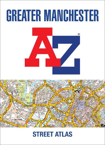

Navigate your way around Manchester with this detailed and easy-to-use A-Z Street Atlas.
Printed in full-colour,paperback format,this atlas contains 122 pages of continuous street mapping.
Coverage extends to: Bolton,Bury,Oldham,Wigan,Rochdale,Salford,Stockport,Ashton-in-Makerfield,Altrincham,Ashton-under-Lyne,Cheadle,Leigh,Littleborough,Macclesfield,Ramsbottom,Stalybridge,Standish,Wilmslow.
There is separate coverage of Knutsford and large scale city and town centre maps of:Manchester,Altrincham,Ashton-under-Lyne,Bolton,Bury,Oldham,Rochdale,Stockport,Wigan.
Postcode districts,one-way streets and National Park boundaries are also featured on the mapping.
Also included are: a postcode map of the Greater Manchester area a road map of the Greater Manchester area a Manchester Rail and Metrolink Connnections map
The index section lists streets,selected flats,walkways and places of interest,place and area names,National Rail and Metrolink station names,hospitals,hospices and NHS Walk-in Centres.
Publisher: HarperCollins PublishersISBN: 9780008496388Number of pages: 240Weight: 730 gDimensions: 297 x 216 x 11 mm
Kommentar