


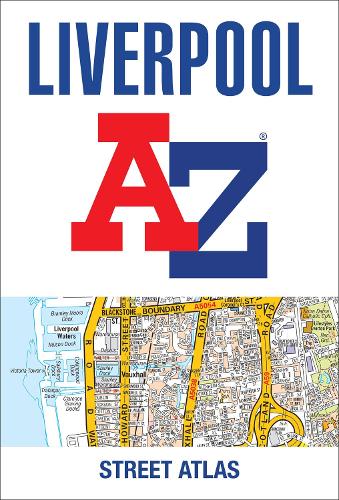

Navigate your way around Liverpool with this detailed and easy-to-use A-Z Street Atlas.
Printed in full-colour,paperback format,this atlas contains 120 pages of continuous street mapping.
Coverage extends to include: Maghull,Crosby,Bootle,Kirkby,Prescot,Huyton,St. Helens,Haydock,Widnes,Runcorn,Wallasey,Birkenhead,West Kirby,Heswall.
Also included is: a large scale city centre map of Liverpool a postcode map of the Liverpool area a Liverpool rail connections map
Postcode districts,one-way streets and park and ride sites are featured on the mapping.
The index section lists streets,selected flats,walkways and places of interest,place,area and station names,hospitals,NHS Walk-in Centres and hospices.
Publisher: HarperCollins PublishersISBN: 9780008496395Number of pages: 224Weight: 650 gDimensions: 297 x 201 x 11 mm
Kommentar