



But what makes these Atlases so different from the rest
- They're exciting and informative - With amazing photos,interesting discussion points and statistics integrated around EVERY map to draw your pupils in,these are Atlases you and your pupils will want to use again and again.
- Content that's tailored to match the Curriculum - Thanks to the Geographical Association,who understand what you need from an atlas in the classroom,you can be sure that these Atlases have exactly what you need to support Key Stage 3 and Key Stage 4 learning.
- Design that's tailored to meet the needs of your pupils - Dorling Kindersley designers and the Geographical Association worked closely together to ensure the design makes these Atlases the most accessible and easiest to use.
- They're created by people you know and trust - the Atlases incorporate the subject expertise of the Geographical Association,with the stunning visuals of Dorling Kindersley and the curriculum understanding of Longman to give you Atlases of the highest quality.
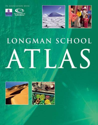
Longman School Atlas
- Introduces key themes of interdependence,environment,globalisation,change and development - including a chapter dedicated to development issues.
- "Earth from the sky"sections provide satellite images and aerial photographs for every continent,giving pupils the opportunity to use a variety of secondary sources.
- A map skills section gives clear guidance on how to use the atlas.
Publisher: Pearson Education LimitedISBN: 9781405822640Number of pages: 112Weight: 460 gDimensions: 292 x 229 x 10 mm
Kommentar