


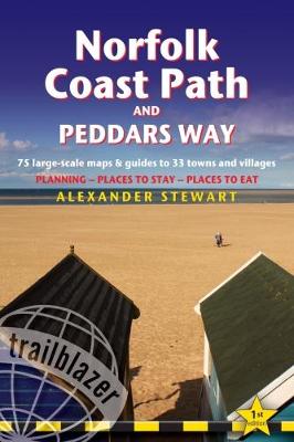

All-in-one,practical guide to walking the Norfolk Coast Path and Peddars Way,with 75 large-scale walking maps and guides to 33 towns and villages,planning,places to stay and places to eat. The Norfolk Coast Path & Peddars Way cover 130-miles of walking trails. The Peddars Way runs through East Anglia from Knettishall Heath on the Norfolk/Suffolk border and follows a Roman road to Holme-next-the-Sea. From here it becomes the Norfolk Coast Path,hugging the beautiful Norfolk coastline through Holkham,Wells,Blakeney and Cley to Cromer before it rounds the shoulder of the county and continues along the superb beaches and crumbling cliffs to Mundesley,Sea Palling and Great Yarmouth,finishing just before the Suffolk border.This new guide has been expanded from Peddars Way & Norfolk Coast Path (ISBN 978-1-905864-28-7) to include the 40-mile extension of the National Trail from Cromer to Hopton-on-Sea.Includes: 75 large-scale walking maps- at just under 1: 20,000 (8cm or 3 and one eighth inches to 1 mile) our maps are bigger than even the most detailed walking maps currently available,with walking directions,tricky junctions,places to stay and eat,points of interest and walking times written onto the maps. All standards of accommodation with reviews: campsites,B&Bs,hostels,hotels,bunkhouses. Where to eat with reviews: cafes,teashops,pubs,takeaways and restaurants. Detailed public transport information for all villages and towns along the paths. Itineraries for all walkers including one day Peddars Way and Norfolk Coast Path walks. Downloadable GPS waypoints. Colour pictures including a 6 page colour bird and flower guide. Historical,cultural and geographical background information.
MEDIA REVIEWS
Publisher: Trailblazer PublicationsISBN: 9781905864980Weight: 250 gDimensions: 180 x 120 x 15 mm
MEDIA REVIEWS
'The most thorough walking guide I have ever read.'Strider,The Long Distance Walkers Association,December 2018;'Highly recommend this guidebook',Backpack,Backpackers Club,Winter 2018;
Kommentar