


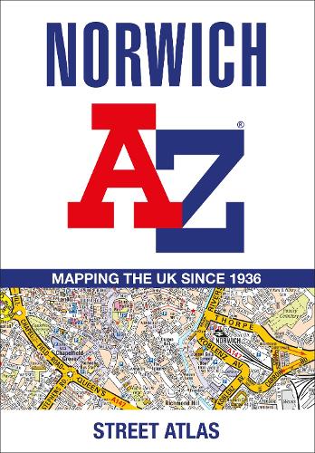

Navigate your way around Norwich with this detailed and easy-to-use A-Z Street Atlas.
Printed in full-colour,paperback format,this atlas contains 42 pages of continuous street mapping. More than 4,500 streets indexed. Large scale 4 inches to 1 mile map.
Areas covered include :Blofield,Blofield Heath,Brundall,Cringleford,Hethersett,Norwich Airport,Poringland,Spixworth,Sprowston,Taverham,Wroxham,Wymondham.
In addition,there is an inset map of Horsford and a large scale city centre map of Norwich.
Postcode districts,one-way streets and safety camera locations with their maximum speed are featured on the street mapping.
A comprehensive index lists streets,selected flats,walkways and places of interest,place,area and station names. Additional healthcare (hospitals,walk-in centres and hospices) and transport connections are indexed as well.
Publisher: HarperCollins PublishersISBN: 9780008560454Number of pages: 60Weight: 100 gDimensions: 215 x 149 x 6 mmEdition: Tenth edition
Kommentar