


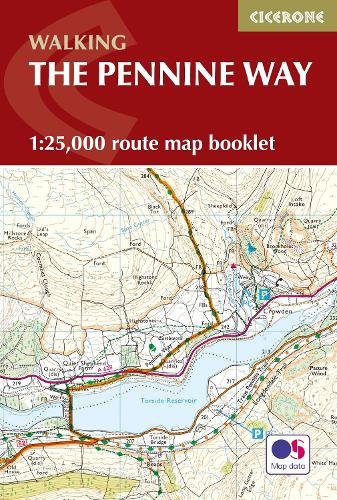

Britain's oldest,toughest and best-known long-distance footpath,the Pennine Way stretches 427km (266 miles) from Edale in Derbyshire to Kirk Yetholm in the Scottish Borders. This map booklet contains all the OS 1:25,000 Explorer mapping you need to complete the Pennine Way National Trail,saving the space,weight and expense of multiple map sheets. Conveniently sized to slip in a jacket pocket or rucksack top.NOTE An accompanying Cicerone guidebook - The Pennine Way - describes the full route from south to north with lots of other practical and historical information. The accompanying guidebook INCLUDES a copy of this map booklet.
Publisher: Cicerone PressISBN: 9781852849078Number of pages: 136Weight: 180 gDimensions: 172 x 116 x 9 mm
Kommentar