


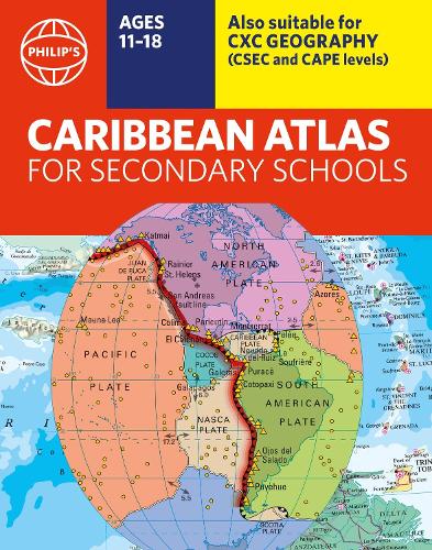

A new edition of the market-leading atlas for CXC Geography students, Philip's Caribbean Atlas for Secondary Schools provides extensive coverage of the Caribbean area,together with a comprehensive selection of world and regional maps. The atlas is arranged in three sections for ease of use,with each page colour-coded for rapid reference. The first section is devoted to a detailed coverage of the Caribbean region in 48 pages,and includes maps of every island plus Belize and Guyana,as well as topographical,land use,tourism and mining maps.The second section is made up of 72 pages of World topographical maps,incorporating continental thematic maps on topics such as population,climate and biomes,followed by 32 pages of World thematic maps. This new 8th edition features updated mapping of all Caribbean islands,as well as the latest statistics. The World map section contains additional coverage of Brazil,the Americas and Asia,while the World thematic section includes maps on volcanoes,El Nio,tourism,energy,minerals,industry,trade and international organizations.Completing the atlas is a section of CXC study maps covering topics such as farming,soil conservation,economics,tourism and urban land use. Features regional studies of Mauritius,UK,Canada,USA and Brazil.The index gives letter-figure grid references as well as latitude and longitude co-ordinates.
Publisher: Octopus Publishing GroupISBN: 9781849076470Number of pages: 184Weight: 700 gDimensions: 285 x 224 x 16 mm
Kommentar