


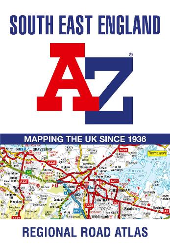

This A-Z map of South East England is a full colour regional road atlas featuring 46 pages of continuous road mapping extending from Banbury and Felixstowe to the south coast,and from Oxford and Southampton to Margate and Clacton-on-Sea in the east.
Road map detail is shown at a clear 2.5 miles to 1 inch scale (1.58 km to 1 cm) and includes the following features:
- Motorways open with full junction detail,motorways under construction and proposed,service areas,primary routes and destinations,A & B roads,selected minor roads,gradients 1:5 and steeper,tolls,mileages,county boundaries,spot heights and hill shading
- Selected fuel stations
- National Park boundaries
- Selected places of interest,tourist information centres and golf courses
Also included are 21 city,town,airport or port plans for Brighton & Hove,Canterbury,Dover,Eastbourne,Folkestone,Guildford,London,Medway Towns,Milton Keynes,Oxford,Portsmouth,Reading. Southampton,Winchester,Windsor,London Gatwick Airport,London Heathrow Airport,London Luton Airport,London Stansted Airport,Newhaven Port,and Portsmouth Port.
The index section lists cities,towns,villages,hamlets and locations covered by the road mapping.
Publisher: HarperCollins PublishersISBN: 9780008560584Number of pages: 72Weight: 160 gDimensions: 245 x 170 x 3 mm
Kommentar