


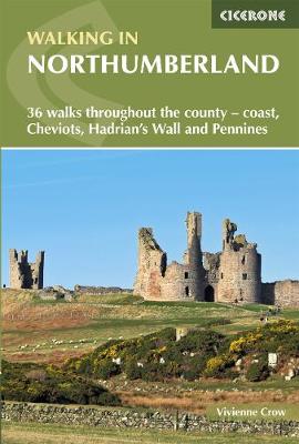

The book comprises 36 short walking routes between 4 and 14 miles in Northumberland,England's most sparsely populated county. Ranging from easy ambles and gentle woodland trails to long days on the hills,there is something for all types of walker - and all types of weather. Taking in the beautiful coast with its immense,empty beaches and dramatic crag-top castles to the remote hills of the Cheviots and Pennines,the whole county is covered. Most of the routes are circular,but there are a few linear walks that make use of local bus services. The landscapes are rich in history,featuring Hadrian's Wall,Lindisfarne Priory,Bamburgh and Dunstanburgh castles,and much more. The walks are divided into five geographical areas: north-east Northumberland,National Park (north),Kielder,Tyne Valley and National Park (south) and the North Pennines. Each walk description contains information on start/finish points,distance covered,total ascent,terrain,approximate walking time,grade,maps required,transport options,public toilets and refreshments,and is accompanied by 1:50k OS mapping. The book also includes a handy route summary table.
Publisher: Cicerone PressISBN: 9781852849009Number of pages: 216Weight: 250 gDimensions: 172 x 116 x 13 mm
Kommentar