


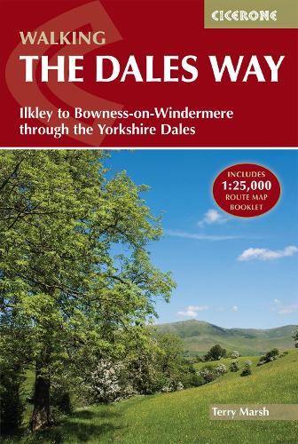

A fully waymarked trail from Ilkley to Bowness-on-Windermere,the Dales Way links two of England's most celebrated national parks,the Yorkshire Dales and the Lake District. Well served for accommodation and facilities,and with easy walking on riverside paths,it is one of the gentlest multi-day walks in Britain and therefore an ideal introduction to long-distance walking. It can be comfortably completed in 6-8 days. The guide offers comprehensive notes on local points of interest,as well as an overview of Dales geology,history,plants and wildlife to enhance the walking experience. The practical information is all there too,including when to go,how to get there and what to take,making for an ideal companion to enjoying this delightful route.Presented in six daily stages of 7-19 miles (with suggestions for alternative schedules),this guide describes the Way in both directions,with the main route description running from south to north. Step-by-step route description is accompanied by 1:100,000 mapping,and a trek planner,showing where facilities are available,is included to facilitate planning. Accommodation listings and useful contacts can be found in the appendices. A separate,conveniently sized map booklet located in the back-cover sleeve provides all the OS 1:25,000 mapping needed to complete the trail.
Publisher: Cicerone PressISBN: 9781786310934Number of pages: 176Weight: 260 gDimensions: 172 x 116 x 11 mm
Kommentar